
Frequently Asked Questions
How did you pick the locations for these cameras?
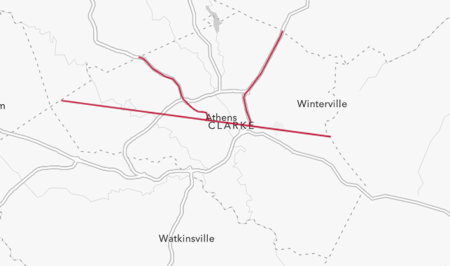
Our original 26 sites were chosen by first establishing a “route” along which the cameras would be placed. The original route was designed as a line with a 2-kilometer buffer on either side, positioned to capture as much of Athens as possible within the study area. Recently, Athens-Clarke County adopted and expanded our project to 39 total cameras, adding two new routes along Highways 29 and 129 to monitor the impacts of ongoing construction.
Within these routes, sites were chosen by identifying suitable greenspaces and coordinating with Athens-Clarke County, the University of Georgia, and private landowners to secure camera locations. Each site was selected with the goal of representing the city as a whole by capturing a wide range of urbanization and socioeconomic conditions.
How did you pick the locations for these cameras?
Our original 26 sites were chosen by first establishing a “route” along which the cameras would be placed. The original route was designed as a line with a 2-kilometer buffer on either side, positioned to capture as much of Athens as possible within the study area. Recently, Athens-Clarke County adopted and expanded our project to 39 total cameras, adding two new routes along Highways 29 and 129 to monitor the impacts of ongoing construction.
Within these routes, sites were chosen by identifying suitable greenspaces and coordinating with Athens-Clarke County, the University of Georgia, and private landowners to secure camera locations. Each site was selected with the goal of representing the city as a whole by capturing a wide range of urbanization and socioeconomic conditions.
How many cameras are there?
In total, we have 39 cameras operating across Athens-Clarke County.
How long will this project last?
Our cameras capture photos one month every season, for a total of four months every year. This project has been going on since 2021, and it will be continuing into the foreseeable future. This long term approach will give us a lot of data to help better understand urban wildlife, as well as allow us to see trends over time.
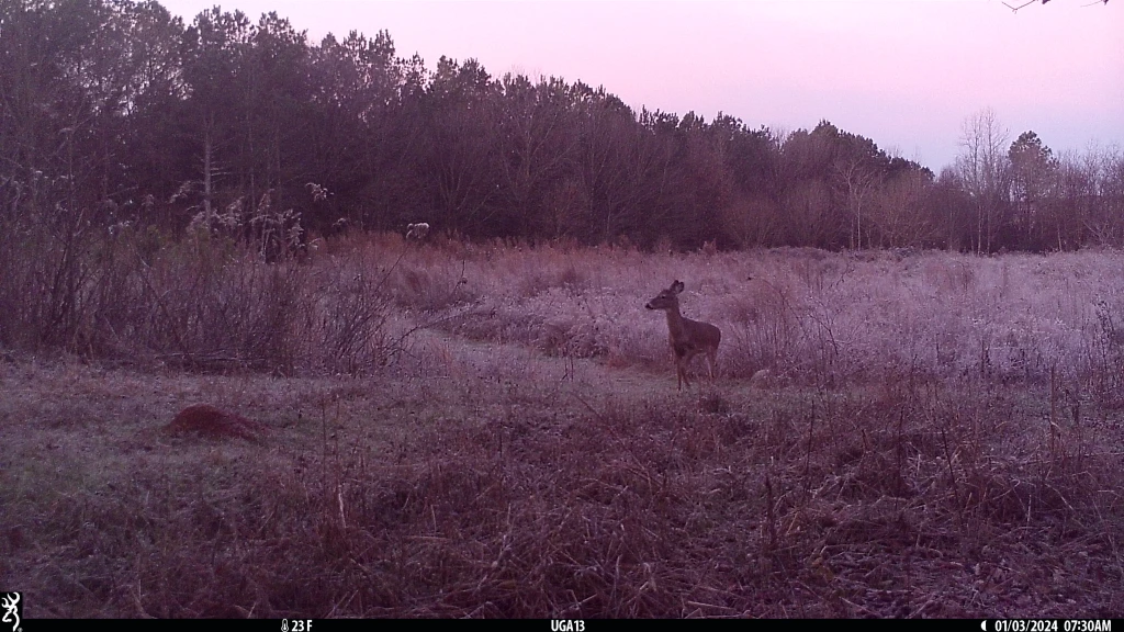
Do you take pictures of people?
The study of wildlife in urban, often heavily populated areas means we occasionally get pictures of people. Generally, we try to avoid this by keeping cameras away from areas with heavy foot traffic, but sometimes this is not possible. However, any photos taken of people will never be shared to protect the privacy of these individuals.
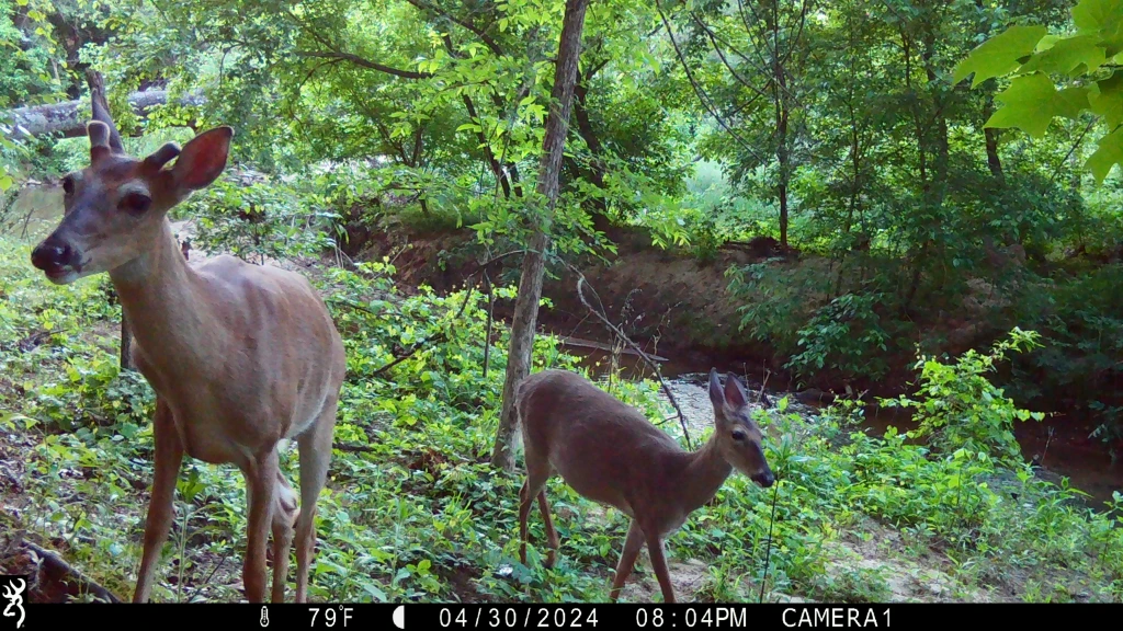
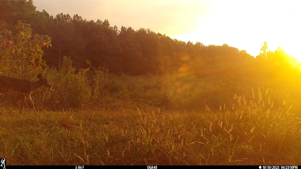
Where can I see more photos?
We will periodically update this site with new photos as we process them, so make sure to check back to see any new ones!
How can I get involved?
If you’re interested in volunteering to tag photos, pleae fill out this volunteer interest form.
What has this data been used for so far?
This data has already been used in a variety of publications, studying both urban wildlife within one city and the effects of urbanization across multiple cities. There have also been many articles written, breaking down the results of the studies for the public and raising awareness for our cause.